|
|
|||
|
|
|
|
|
|
|
|
|
|
|
|
|
|
|
|
Click thumbnail for a LARGER image Map TR227694 |
|||
|
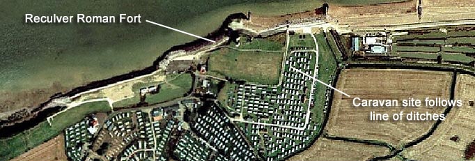
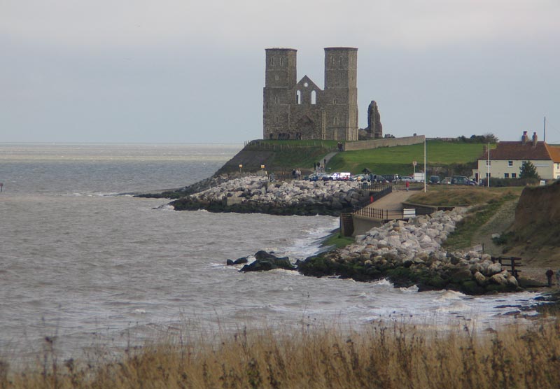
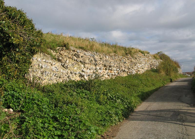
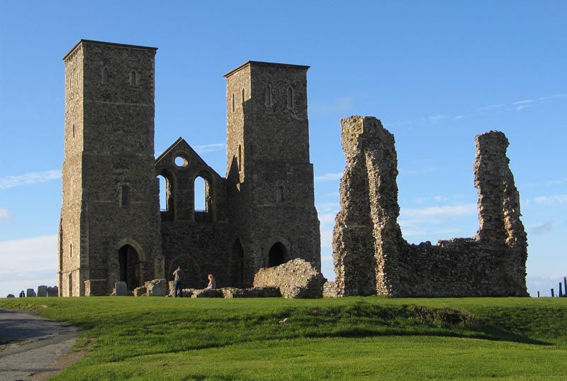
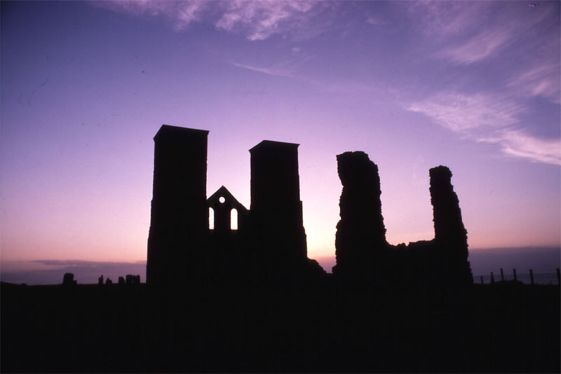
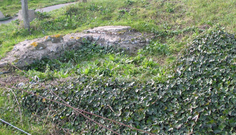
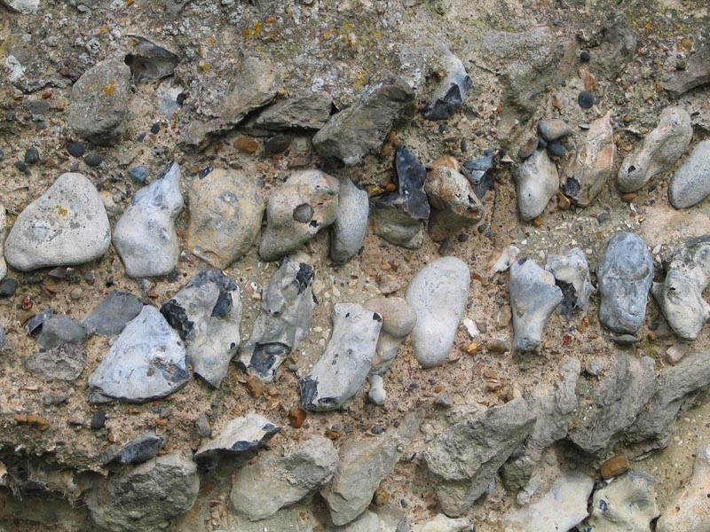
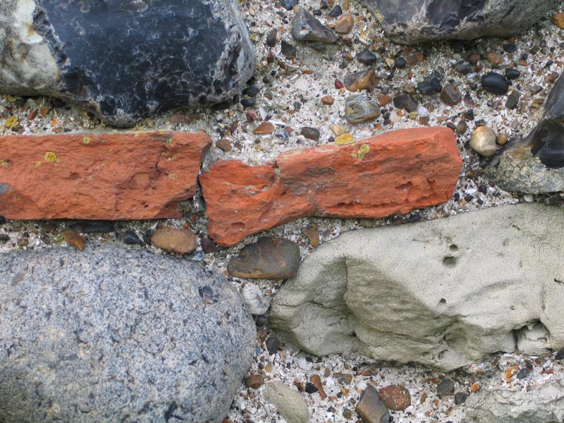
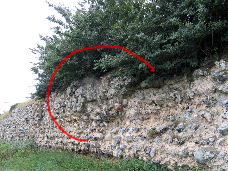
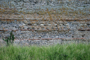
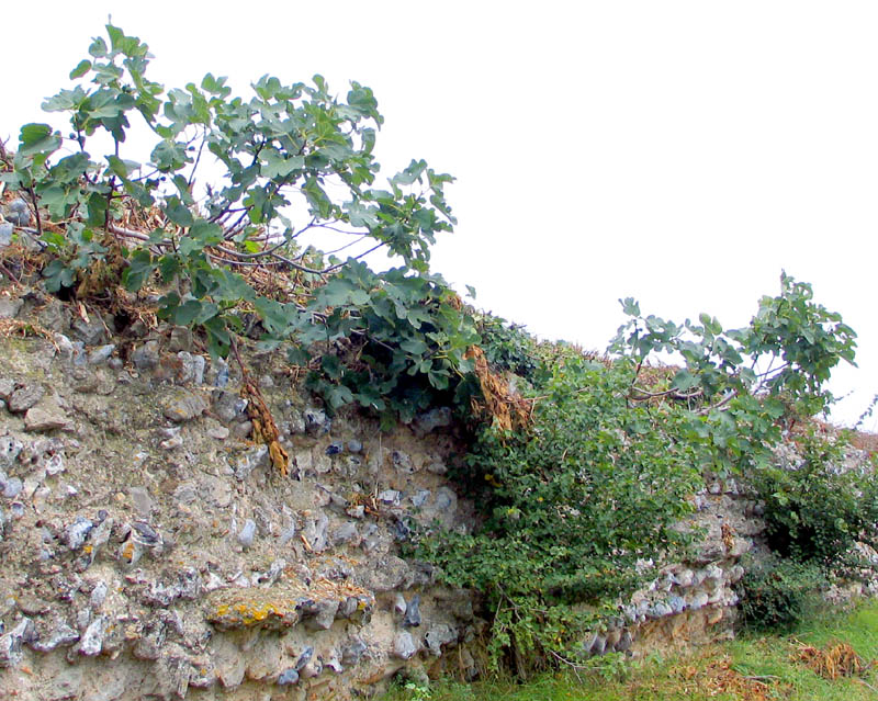
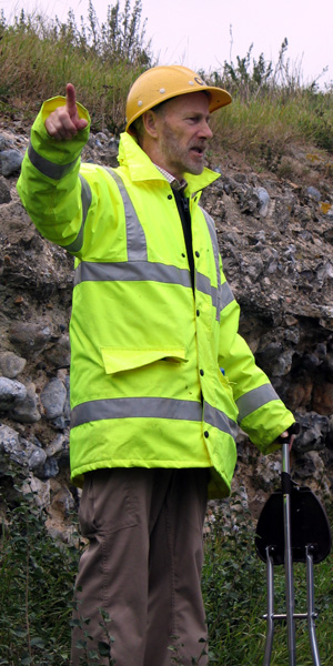
Cliff Walk Late October and a walk along the coast from Herne Bay where I live brings us to Reculver, or Regulbium, the site of the Roman fort. From the west (image 1) one can see the twin towers of the Saxon Church (3) getting larger, it stands on the edge of the beach defended by 5000 tonnes of huge, new, granite rocks flecked with mica; this gives the clue to what happened here over the last two millennia for the Roman fort stood at least 1km inland and perhaps as much as three. It is said to have stood on a promontory which pushed out into the Thames estuary and carried a signal station or even lighthouse before coastal erosion took its toll. The far east side of the fort drops down to the marshy flood plain of the River Wantsum/Wantsum Channel which, once upon a time, cut Thanet from the mainland. This river enabled small boats to pass between to Reculver, Richborough, Hoath, Fordwich and Canterbury in Roman times as Reculver was an early Claudian bridgehead. The Fort There's not much to see nowadays except the remnants of the south and east walls of the fort enclosing a square area now carrying the remains of the Saxon church. The south wall (2) is quite substantial, it bounds the lane which runs east and turns round a rounded corner into the east wall where two defensive ditches used to be. The wall (7), which may have stood as high a 6 metres backed with an earth rampart inside, is made of black flints (from Thanet) and ragstone set in concrete or mortar without, for some reason, the usual red tiles of levelling or bonding courses usually associated with Roman walls. The eastern wall shows signs of repair, see my photo (9); behind the repair were found the remains of a Roman oven. The wall enclosed an area of some 5 acres [150x160/4840 sq.yds], is my guess. The Saxon church wall (15th century addition)(8) does however contain red bricks/tiles robbed out from later Roman building. Little of the ashlar blocks (facing stones) remain but they are visible here and there as at the bottom of the wall in image (10). Some material for the stone fort may have come from Bishopstone Glen (between Reculver and Herne Bay - click here for more) but the ragstone is much more likely to have come from the quarries at Maidstone . In the centre of the east wall a gap reveals the 2.7m wide east gate which is still used to this day as a pathway into and out of the fort area (the via Principalis) and still existing are the overgrown foundation stones of a sentry or guard box (6) next to it. This is just about as much can be easily seen today. The plan of the site (5) after Detsicas1 shows the fort had a principia (containing an underground strong room or sacellum), a basilica, two barrack buildings and a couple of hypercausted buildings, probably bathhouses. All around the fort signs were found of a vicus as one might expect (and presumably on the now eroded north side as well.) The earliest building phase may have simply been a protected landing site in Claudian times (AD43) with ditches, palisade and wooden huts, the building of the stone fort is later 3rd century (AD210). The fort had as many as 500 men stationed as documentary evidence (Notitia Dignitatum) shows Cohors Primae Baetasiorum civium Romanorum (C.I.B.) raised originally from Belgium and Germany as being garrisoned at Regulbium. It seems they were initially garrisoned at Cumberland before being moved down to Reculver around 200AD as the threat shifted from the northern tribes of Britannia to the raiders from the Friesian Islands, Holland and northern Germany (the Saxons) increased. This C.I.B. are the people who built the stone fort at Reculver. There may also have been marines of the Classis Britannica as well for protection against coastal pirates in later times. Finds: Not much apart from the 24,000 bits and pieces kept at the Herne Bay Museum and Dover Castle! Tiles stamped CIB the garrison cohort, see above. Eleven pieces of an inscription from the sacellum shrine referring to A. Rufinus (AD 238-244) a governor; painted wall plaster, 24 coins of Nero & Tiberius were found too. By the Way Traces of an early Belgic homestead were found in the area. Of interest is the fig tree (11) mentioned in a paper (can't remember the details) about the fort from 250 years ago. It's still there, maybe a descendant from Roman time fig tree? And also a picture (12) of Brian Philp, chief archaeologist and excavator of Reculver (and elsewhere) for 30+ yrs giving a guided tour of the fort in September 2005. Notice his helmet inscribed with the letters CIB. 1 Detsicas - The Cantiaci |
|||