|
|
|
 |
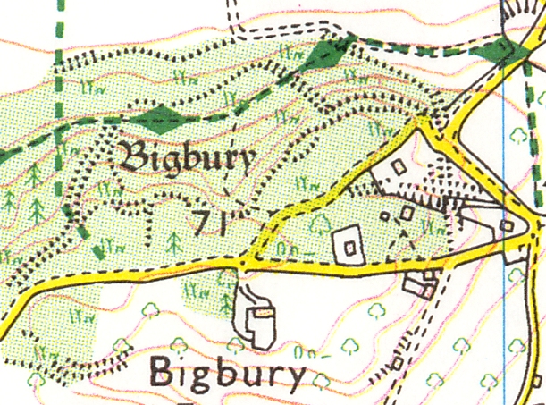 |
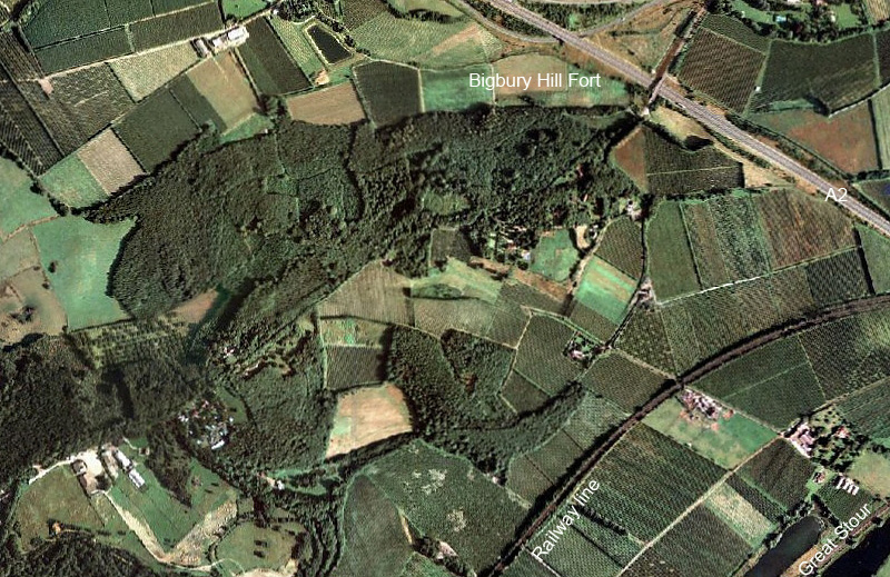
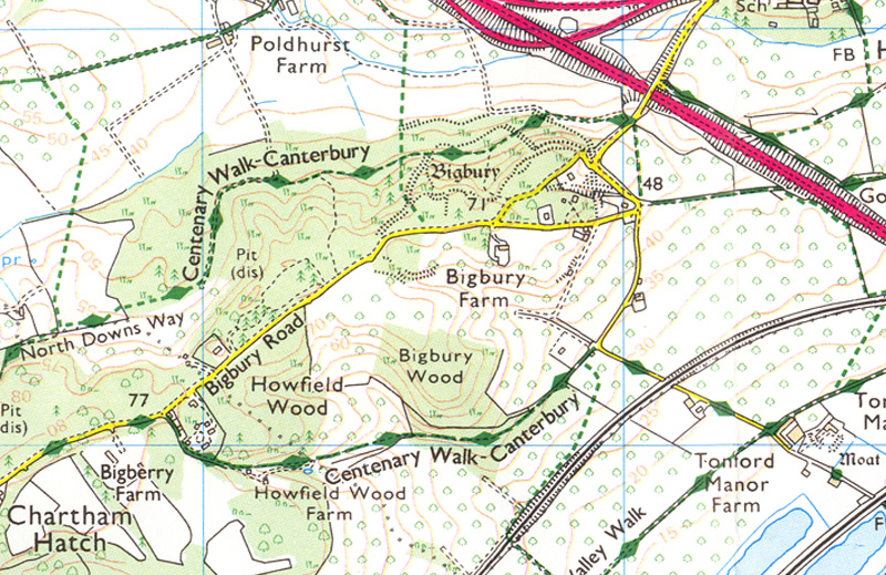
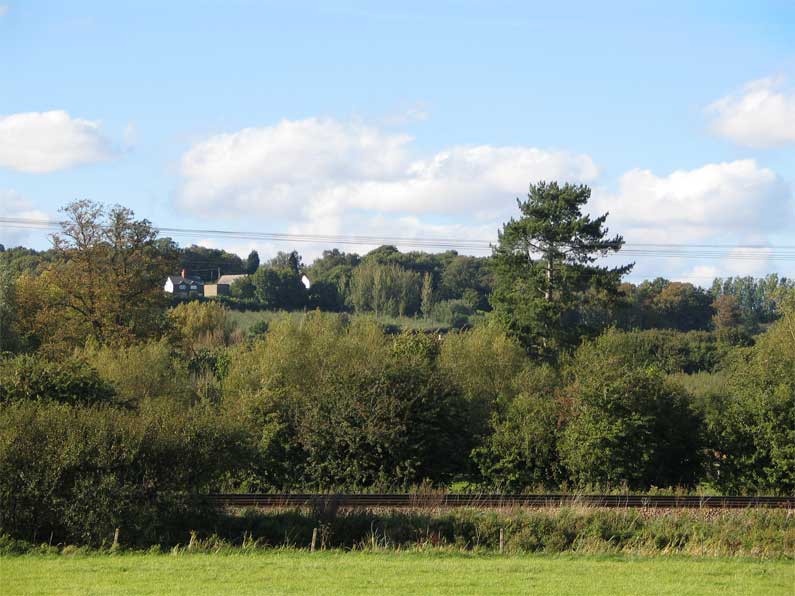
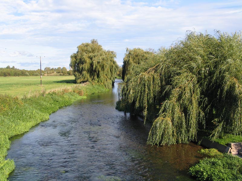
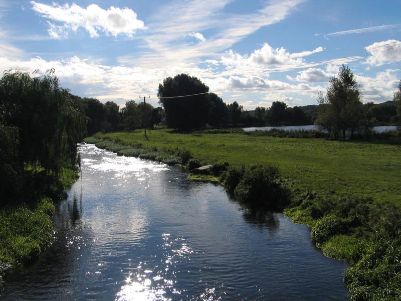
| Bigbury (a.k.a. Bigberry) Late Pre-Roman Iron Age or Belgic hill fort (oppidum) 1½ miles from Canterbury. This is said to be the place where Cassivellaunus of the Cassivellauni had a stronghold. These days it is a heavily wooded, dark and foreboding place with the remains of several ditches apparent. The flood plain of the Great Stour below Bigbury at Tonford (right) is the site where the Roman battle is thought to have taken place; it is less than a foot deep these days and I doubt it ever was difficult for the Roman army to cross. Finds at the hill fort include a ploughshare, chains (indicating slaves) and the remains of a 1st. century hut. The fort seems to have been abandoned after the attack in 54BC and by Claudian times AD43 it appears that the settlement moved to present day Canterbury. |
 |
 |
|
| Click thumbnails for a LARGER image | |||